The Center for InTeractIng urban nEtworkS (CITIES) research plan focuses on three interconnected themes: Mobility, Uncertainty, and Fairness. These themes address challenges faced by cities globally and align with NYUAD’s Excellence 2030 Strategic Framework. CITIES aims to leverage data and technology to propose interventions for major challenges in rapidly evolving cities, promoting economic growth and equity. The research will address questions within each theme across three dimensions: technology, data, and interventions.

A Framework for Decision Support in the Face of Uncertainty
PI: Azza Abouzied, Associate Professor of Computer Science
This research aims to build a generalizable framework for decision-making in the face of uncertain data provided by the sensing infrastructure across multiple city domains to benefit society through a variety of applications.

Assessing the Threat of Disinformation & Data Voids and the Efficacy of Mitigation Efforts
PI: Azza Abouzied, Associate Professor of Computer Science
Disinformation campaigns and fake news are a modern form of information warfare and are at the forefront of society’s security concerns. Combating disinformation is a very timely goal in the current political atmosphere and the age of information flooding. Disinformers abound, and mitigators and their resources are scarce, which leads us to examine how we can build tools that support mitigators’ efforts and maximize their efficacy.
Examining the Role of AI in Aiding Urban Data Visualizations
PI: Azza Abouzied, Associate Professor of Computer Science
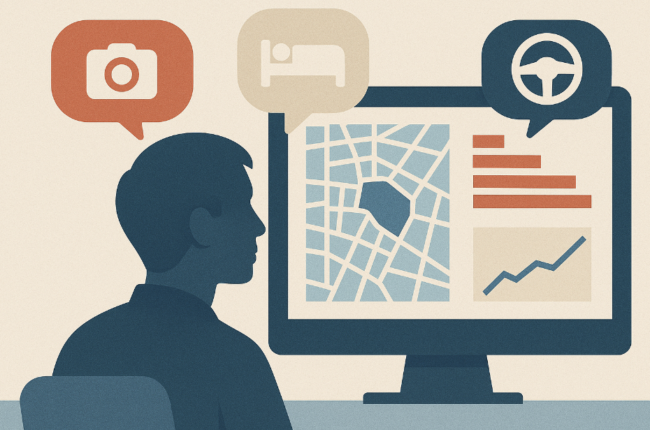
The project focuses on exploring how large language models (LLMs) can generate visualizations of urban and spatial data tailored to specific user interests. For instance, when provided with datasets such as AirBnB or taxi data, the project investigates how LLMs, prompted only with a user’s role (e.g., Photographer, Host, Driver, Commuter, etc.), can produce meaningful and contextually relevant data transformations and visualizations. The central premise is that by leveraging user narratives, LLMs can infer user goals and tasks to enable automatic, end-to-end data visualization.
Data Analytics for Urban Traffic
PI: Saif Eddin Jabari, Associate Professor of Civil and Urban Engineering
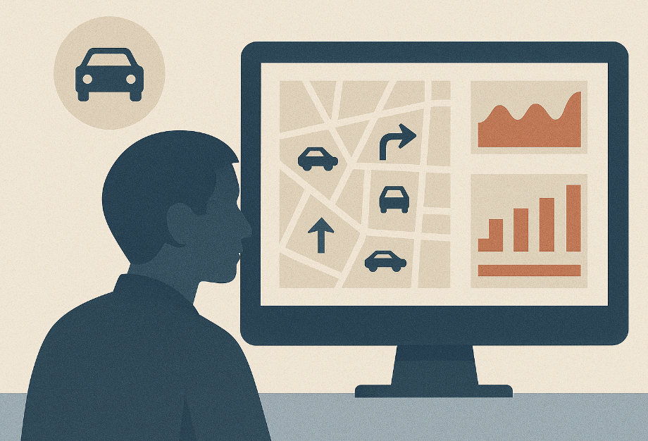
This project embeds traffic physics into contemporary machine-learning techniques for modeling and real-time estimation and control of urban traffic. The combination results in more efficient computational techniques that require smaller volumes of data to complete their tasks, which is of prime importance for real-time operations management.

From Viral to Verified: A Cross-Country Study of Misinformation Sharing
PI: Kinga R. Makovi, Associate Professor of Social Research and Public Policy
This study has grown out of a collaboration with the OECD Measurement Team. The Co-PI, together with colleagues at the University of Bern and Sciences Po, aided the design of the OECD Truth Quest survey and embedded an experiment in a cross-country data collection that was fielded in 20 countries. The Truth Quest survey’s primary goal was to study misinformation discernment.

Network Exposures and the Diffusion of Rooftop Solar Panels in the United States
PI: Kinga Makovi, Associate Professor of Social Research and Public Policy
This work investigates the network and contextual conditions under which solar panels diffuse through society. Given the need for rapid decarbonization to avoid the worst effects of climate change, understanding how social network effects impact both the speed and the equity of solar PV deployment is a crucial area of research.
Improving Multimodal Mobility in Urban Networks
PI: Monica Menendez, Professor of Civil and Urban Engineering
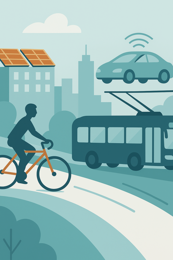
Traffic congestion remains a major challenge in cities, where multiple transport modes compete for limited space. As new technologies transform mobility, this project develops modeling and optimization tools to design and manage advanced systems that integrate conventional and automated vehicles. The goal is to enhance overall performance while accounting for interactions and trade-offs among different modes.
The research is structured around three areas:
Sustainable Systems: Evaluating vehicle fleets and leveraging innovation to reduce emissions and promote greener, more sustainable urban mobility.
Traffic in Urban Networks: Developing intelligent modeling and estimation algorithms to better assess and manage congestion, even with incomplete data, in complex urban systems.
New Vehicle Technologies and Alternative Mobility Systems: Exploring how connectivity, autonomy, and emerging technologies can make public and private transport more efficient and adaptive.
Projects done by CITIES Researchers
SIGHT AI
Led by Junwoo Lee
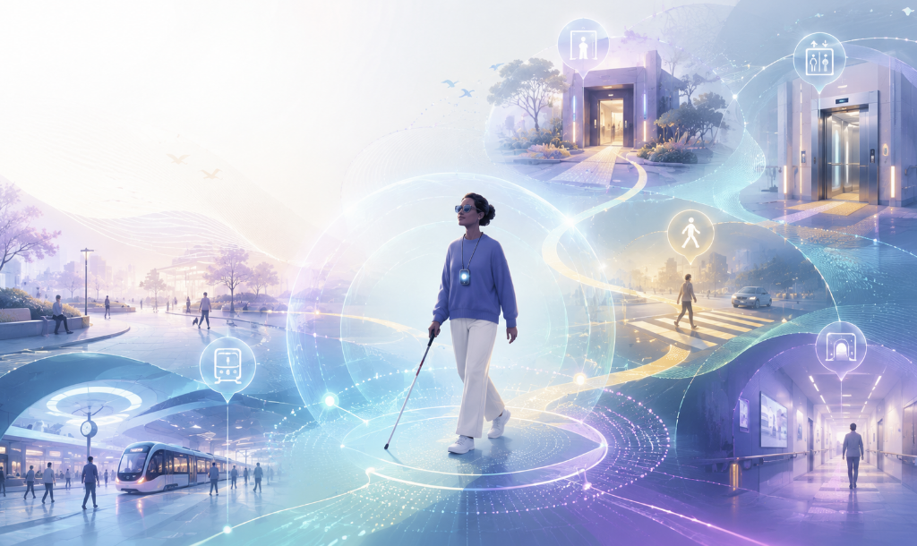
This project focuses on SIGHT AI, a wearable necklace device that uses artificial intelligence to support visually impaired individuals with guidance and navigation. The project reflects a broader commitment to developing AI-driven solutions that address real-world accessibility challenges and assist people in ways that existing tools may not yet fully provide.
CITIESair
Led by Vince Nguyen
This project focuses on a network of air-quality monitoring, data-driven policymaking, and air-purification projects deployed across institutions in the UAE. CITIESair is particularly meaningful as the project raises broader awareness of the importance of breathing cleaner air and its positive effects on the overall well-being of UAE residents. Another project focuses on the CITIES Dashboard to help on-campus stakeholders analyze sustainability-related datasets, support operational decision-making, and promote sustainable behaviors among campus community members.
Urban Environments, Infrastructure, and Green Spaces
Led by Tetiana Dovbischuk
This project consists of a set of interdisciplinary projects that examine how urban environments, infrastructure, and green spaces shape mobility choices, housing preferences, and well-being across diverse global contexts – from Abu Dhabi and China to Europe, the U.S., and Africa. Using mixed methods ranging from participatory GIS and factorial surveys to large-scale urban data harmonization, these projects aim to generate comparative, policy-relevant insights for more sustainable and equitable cities. All of these projects matter to her because they collectively reflect a commitment to understanding how urban environments, mobility systems, and green and public spaces shape everyday life opportunities, life trajectories, social equity, and well-being across different cultural and institutional contexts.
Modular Vehicles
Led by Xiaolin Gong
This project focuses on modular vehicles and developing an integrated design framework for door-to-door feeder services that connect to modular transit corridors, with a focus on sustainable and equitable urban transport solutions. This project bridges vehicle- and system-level design with implementable operational strategies and fare mechanisms that can meaningfully improve how cities move people and goods.
Historical Inequities Continue to Shape Contemporary Urban Dynamics
Led by Cody Arlie Reed
This work examines how historical inequities continue to shape contemporary urban dynamics and the everyday lived experiences of city residents. His research considers how past patterns of exclusion, unequal access, and spatial segregation remain embedded in urban systems, influencing mobility, opportunity, infrastructure, and social interaction today. By connecting historical context with present-day urban challenges, this work highlights the importance of understanding cities not only as physical spaces but also as places shaped by long-standing social, political, and economic forces.
Mobility Patterns and Urban Form
Led by José Bala-Barreiro
This project focuses on the relationship between mobility patterns and urban form. In a context of increasing urbanization and mobility, it is essential to understand how urban space can be used more effectively and how more efficient and equitable urban models can be developed.
Mapping Resident Engagement Through Municipal Service Data
Led by Tenshi Kawashima
This project focuses on collaborative projects using 311 municipal service-request data to understand how residents engage with urban systems and what social processes influence reporting behavior. This project applies social psychological theory to urban data and explores how this work could inform more responsive civic reporting systems and participatory urban governance.
Misinformation Beliefs and Sharing Behavior
Led by Benedek Sarnyai
This project investigates the main factors that shape misinformation beliefs and influence people’s willingness to share false or misleading information. Through data analysis and literature review, the work explores how individual, social, and contextual factors contribute to the spread of misinformation across different settings. By examining both belief formation and sharing behavior, the project aims to provide a deeper understanding of why misinformation circulates and how evidence-based interventions may help reduce its impact
Improving AI Reliability Under Data-Void Conditions
Led by Sanjana Nambiar
This project focuses on search-based LLM web retrieval under data-void conditions, as well as model interpretability. It examines how large language models retrieve, process, and present information when reliable online data is limited, sparse, or difficult to verify. By also exploring interpretability, the project aims to better understand how AI systems make decisions and how their outputs can be made more transparent and trustworthy.
Below are other current projects that integrate and reflect the aforementioned themes

Transportation Network Design for Minimizing Fine Particulate Matter (PM2.5) Exposure and Disparities
PI: Ahmad Bin Thaneya, Assistant Professor, Emerging Scholar of Civil and Urban Engineering
This project develops a transportation network design framework to help planners reduce exposure to fine particulate matter (PM2.5) and address environmental disparities across communities. Because transportation systems are a major source of PM2.5, and because low-income and minority communities often experience higher pollution burdens, the project uses a bi-level optimization model to identify roadway upgrades and new alignments that lower exposure without significantly increasing travel times. The framework considers traffic flows, on-road emissions, construction and supply-chain emissions, and equity constraints to ensure that pollution burdens are not shifted onto already vulnerable populations. By linking candidate designs to the InMAP air-quality model, the project will generate ranked roadway intervention options and exposure-reduction maps for different population groups.
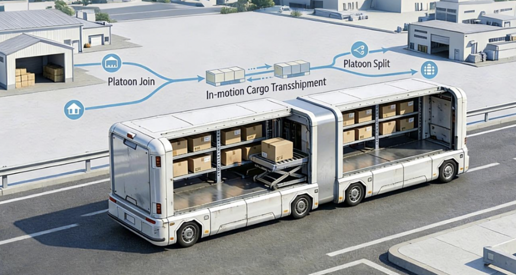
Dynamic Pickup and Delivery with Modular Vehicles: Enabling In-motion Cargo Transshipment via Platooning
PI: Zhibin Chen
This project addresses the limitations of traditional logistics models in fast-changing urban environments by proposing a new approach to dynamic pickup and delivery using modular autonomous vehicles (MAVs). Because on-demand orders arrive unpredictably, static routing often leads to inefficient detours and higher operating costs. In response, the project introduces MAVs made of detachable units that can join and separate while in motion, allowing cargo or passengers to be transferred seamlessly between modules en route. This in-motion transshipment makes routing far more flexible and efficient by freeing each package from depending on the path of a single vehicle.

Urbanization and Social Equity: When and How is City Size Linked to Egalitarian Social Attitudes?
PI: Jennifer Sheehy-Skeffington
Collaborators: Andrew Stier (Santa Fe Institute), Lotte Thomsen (University of Oslo), Marc Berman (University of Chicago)
This project examines whether urban life can do more than increase tolerance among diverse groups by encouraging a stronger commitment to equality and fairness across racial, class, and other social divisions. Building on urban studies and urban scaling theory, the research will analyze city-size data alongside a large database of social attitudes from nearly 25,000 people across hundreds of U.S. cities. It will explore whether larger or more connected cities are associated with greater intergroup egalitarianism, while also investigating the psychological factors, such as perceived intergroup threat, that may strengthen or weaken this relationship.
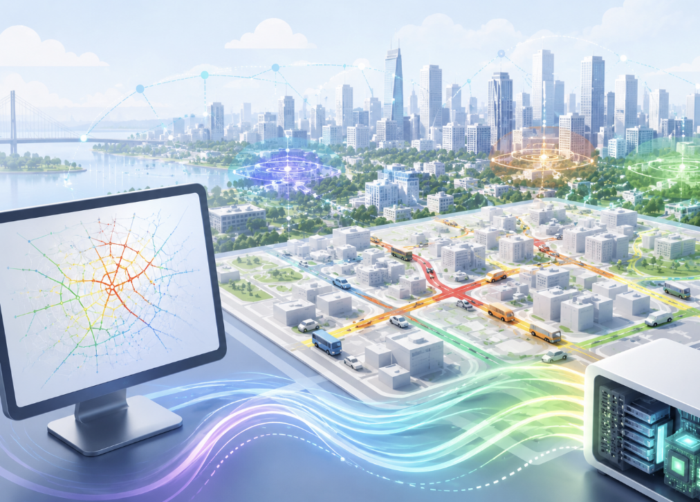
Enabling City-level Traffic Simulation
PI: Kaan Ozbay, Co-PI: Saif Jabari
This project addresses a major bottleneck in city-scale traffic simulation: widely used microscopic tools such as VISSIM, Aimsun, and SUMO can model vehicle movements in detail, but because they typically update movements in small time steps or discrete events on a single processor, they become slow and difficult to calibrate at full-city scale. As a result, agencies often rely on hybrid models, using detailed simulation only in selected areas while representing the rest of the city more coarsely, even though planners increasingly need city-wide, vehicle-level analysis for questions related to resilience, equity, safety, and emissions. Recent research shows that graphics processing units (GPUs) can accelerate microscopic simulation by factors of 100 or more, and several single-GPU, multi-GPU, and open-source frameworks have emerged, though most remain research prototypes rather than practical tools for agencies. This project will review and test these parallel microscopic simulators from a traffic-analysis perspective, classify their approaches, identify their strengths and limitations, and use the findings to develop a proposal for a multi-year program focused on microsimulation theory and toolkits for parallel computing. In collaboration with the Office of Commercialization and Entrepreneurship at NYU Abu Dhabi, the project will also outline a prototype “parallel traffic analysis” tool with a user-friendly interface for traffic engineers and a realistic commercialization pathway.
Spatial Logic of Data Centers: A Comparative Study of US and GCC Urban Networks
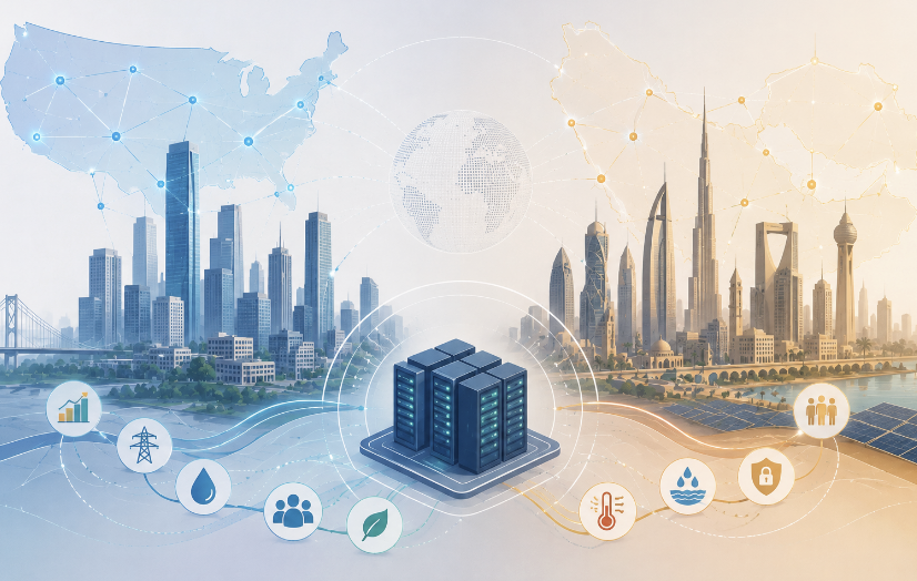
PI: Maurizio Porfiri
This project examines why some cities become hubs for data centers while others do not, focusing on the socioeconomic, infrastructural, and environmental factors that shape data center siting in the United States and the Gulf Cooperation Council (GCC) region. As AI expands, data centers are transforming urban systems by enabling digital innovation while also creating environmental and social pressures, including strain on energy grids and water resources, noise pollution, privacy concerns, and labor-market shifts. Using advanced spatial statistics and network science, particularly Exponential Random Graph Models (ERGMs), the research will compare the siting logic of data centers across the US and GCC, with special attention to the “digital-climate” nexus—especially how the GCC’s dependence on desalination for cooling creates unique urban stresses. By identifying both universal and region-specific drivers of digital infrastructure, the project aims to support planners and communities with a decision-support tool for managing the urban impacts of the AI-driven industrial boom.
Hybrid Work and the Unequal Geography of Urban Services
PI: Takahiro Yabe, Co-PI: Kinga Makovi
This project examines how the rise of remote and hybrid work may be reshaping the demand for, and distribution of, municipal services across urban neighborhoods. Using New York City as a case study, the research links large-scale human mobility data on neighborhood-level work-from-home patterns with 311 service request data to understand whether areas with more daytime residents file more service requests, whether this leads to changes in municipal attention and resource allocation, and whether neighborhoods with less capacity for remote work may receive relatively fewer services over time. By combining behavioral mobility analysis with administrative records, the project investigates how post-pandemic labor patterns may indirectly affect urban governance, public goods provision, and spatial equity.

Air Quality, Public Awareness, and Sustainable Urban Transitions in Uganda and Beyond
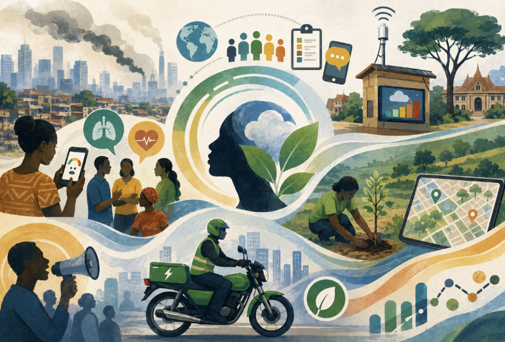
PI: Melina Platas
This body of work examines how air pollution is measured, understood, communicated, and addressed in cities with high exposure but limited public awareness and institutional monitoring, with a strong focus on Uganda and broader comparisons across Africa and the Global South. It combines representative surveys in Kampala and Nairobi, global surveys on Air Quality Index awareness, public information interventions, citizen-science campaigns, journalist training, and partnerships with cultural institutions such as the Buganda Kingdom to improve public understanding of air pollution and local exposure. The work also supports practical environmental action through the installation of community-based air quality sensors, public displays of local air quality data, reforestation planning in Kampala, and the development of digital tools for tree monitoring and environmental reporting. Finally, it extends into sustainable mobility by investigating the potential of electric boda bodas to reduce pollution, improve public health, lower rider operating costs, and support a more equitable transition to cleaner urban transport.
Point-to-Navigate: Predictive World Models for Real-Time, Uncertainty-Aware Mobility and Decision Support for Blind and Low-Vision Individuals
PI: Yi Fang
This project expands the previous SafeCross AI Necklace from a street-crossing support tool into a broader wearable navigation system for blind and low-vision individuals moving through complex urban environments such as public buildings, transit hubs, campuses, corridors, elevators, doorways, and shared pedestrian spaces. Using the same lightweight camera-equipped necklace, Point-to-Navigate streams egocentric visual information to a low-vision-aware vision-language model that identifies task-relevant objects, spatial relationships, and navigation cues. Users can point to or select a target location and receive real-time guidance, supported by wearable sensing, mobile edge computing, and a predictive world model that estimates obstacles and safe paths while the user moves at normal walking speed. By enabling interactive, goal-directed navigation, the project advances inclusive urban mobility, uncertainty-aware decision-making, and fairness.